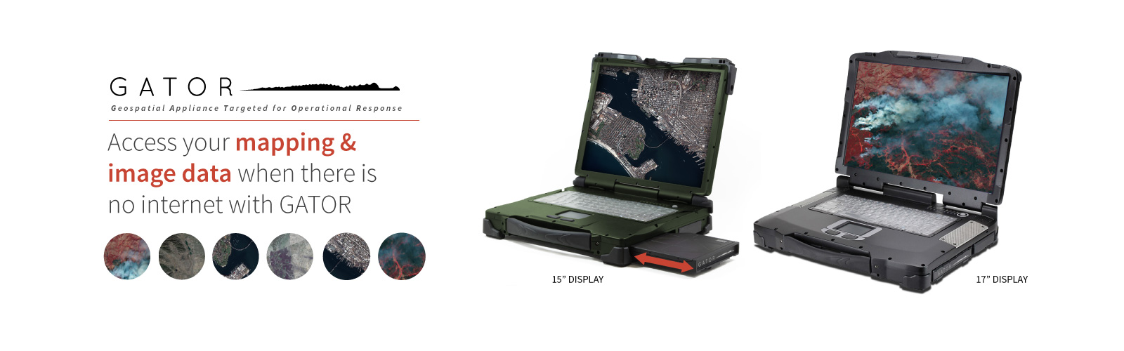

Mapping is a matter of life and death
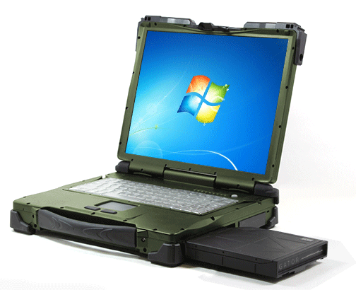
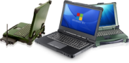
For many. imagery, map-based applications, and GEOINT (GEOspatial INTelligence) are critical. Unfortunately, the great outdoors are not always equipped with hot spots. The GATOR Rugged Geospatial Laptop solves this problem by providing a portable server that streams Geographic Information System (GIS) data when there is no connectivity.
No internet. No problem.
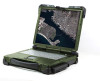
At the heart of the GATOR Rugged Geospatial Laptop is the famous portable geospatial server, the GATOR (Geospatial Assessment Tool for Operations and Response). Simply insert it into the laptop’s device bay, and you will be able stream and imagery GIS data to support your preferred software environment. With or without the internet, this one-box, stand-alone solution allows you to view and add to all of their pre-defined mission data through Google Earth, FalconView, ArcGIS for desktop, GAME Fugitive or in-browser.
In-browser viewing
GATOR Viewer is a powerful and easy-to-use in-browser software solution for geospatial data. It provides turn-key access to all of your GIS data and its intuitive interface can be easily navigated by even non-GIS operators.
• Broadcast data over LAN
• Highly portable
• View data in browser
• Optimized for GAME Fugitive and GATOR Viewer
• Easily add and remove data sources
Formats Supported:
Designed for easy upgrades and configuration stability.
- Esri Compact & Exploded Cache
- GeoTiFF, JPEG 2000, MrSID, Tiled JPEG, I3 TIFF, &PNG (USB Hard Drive)
- KML, WMS, ESRI tiled map